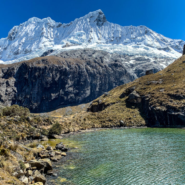
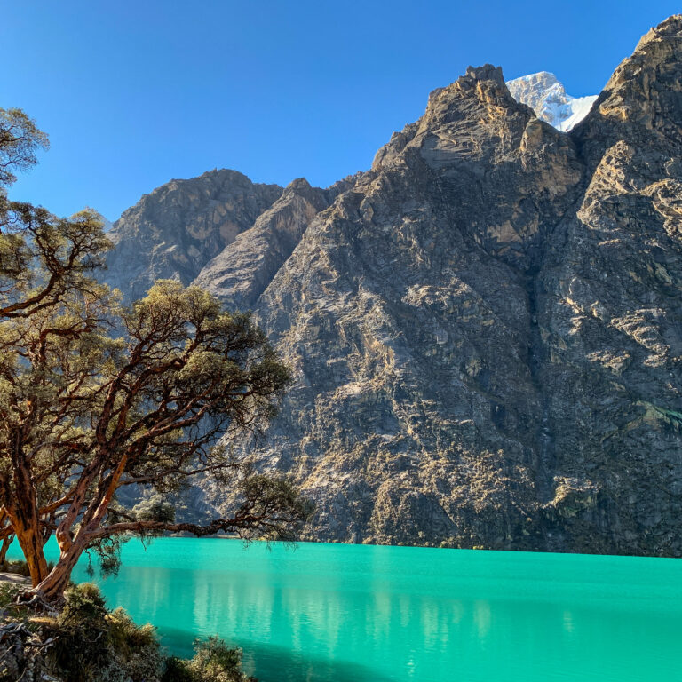
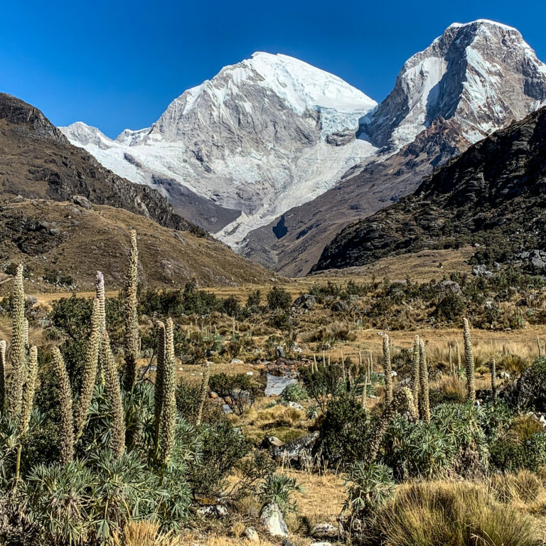
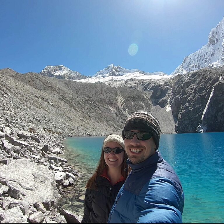
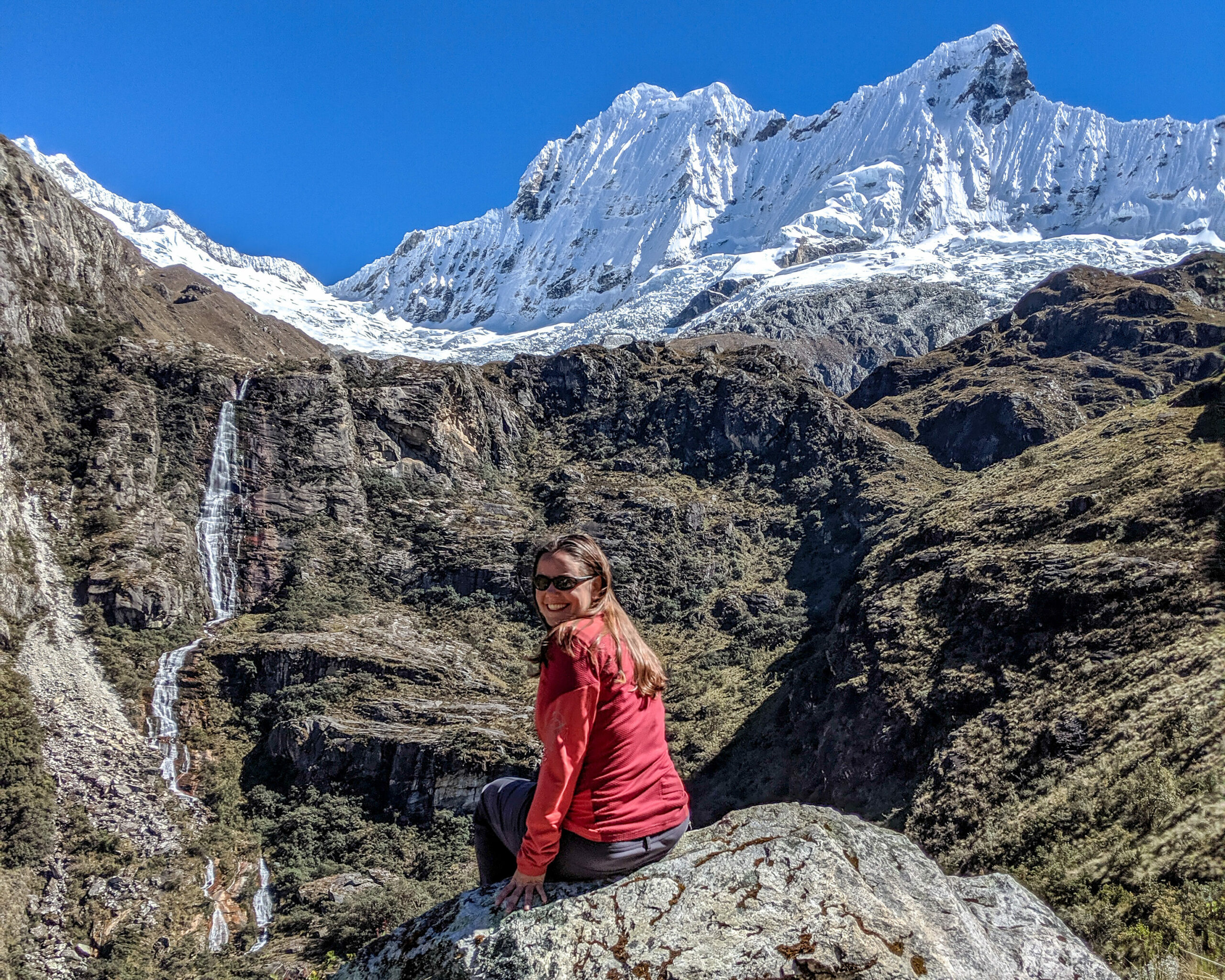
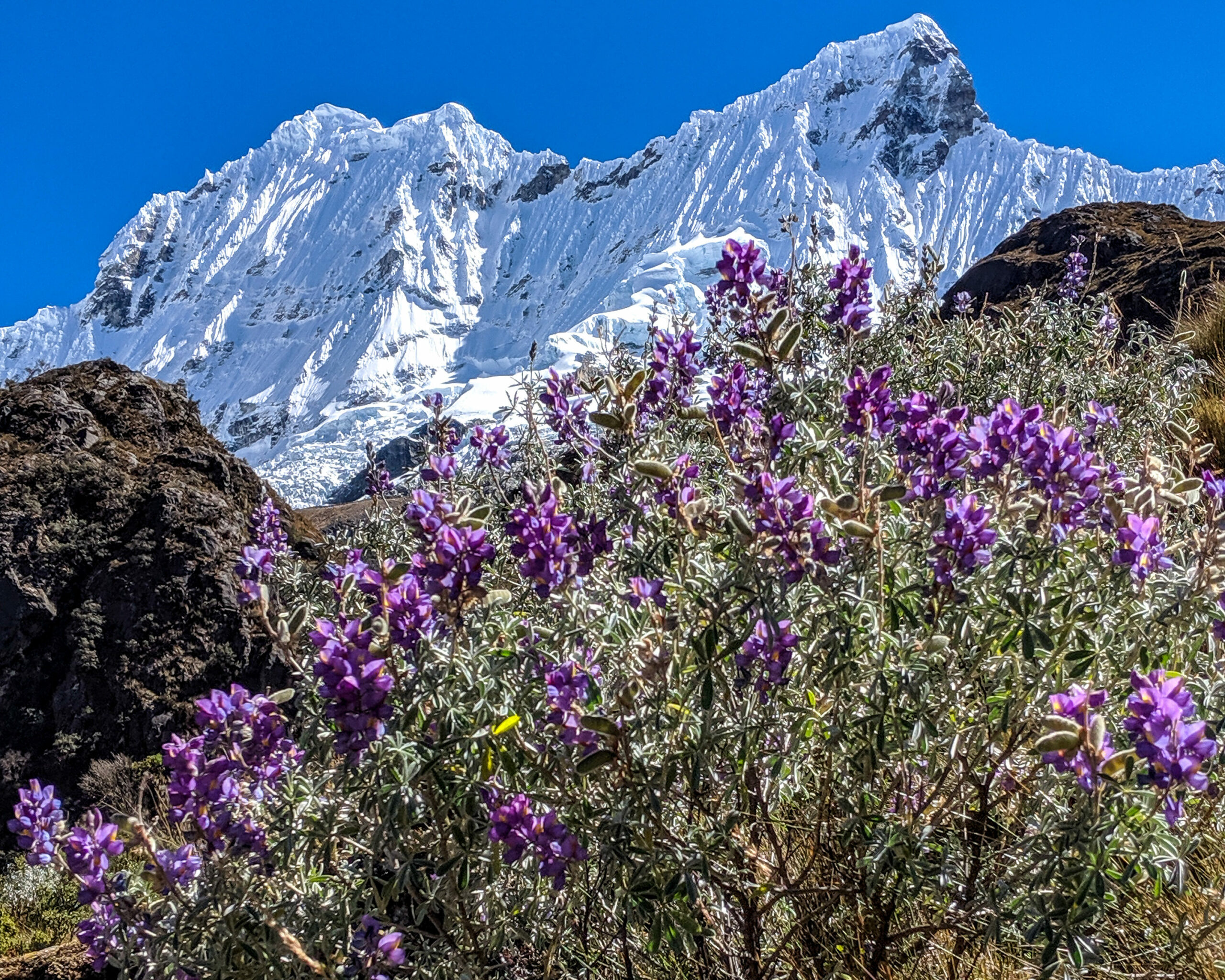
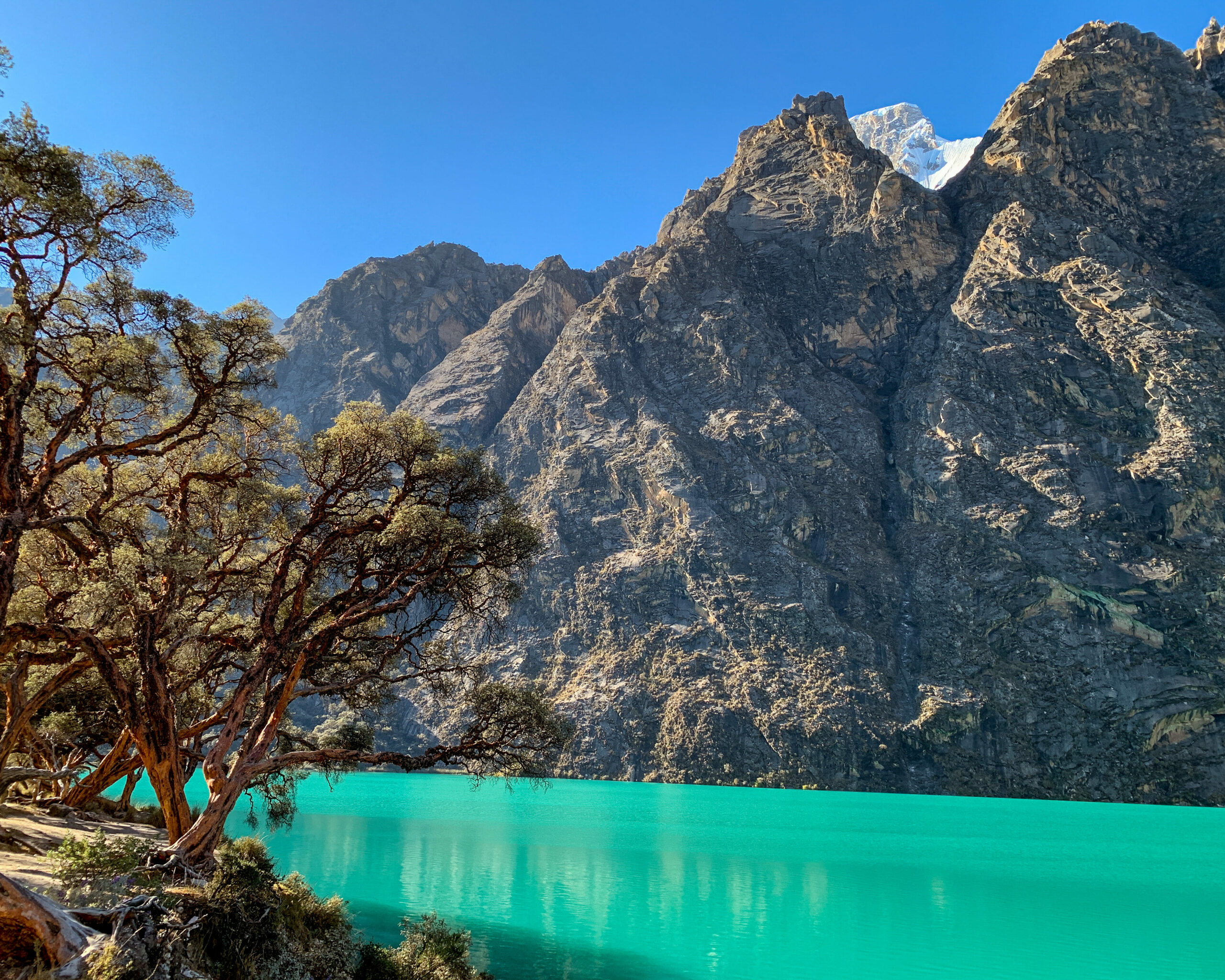
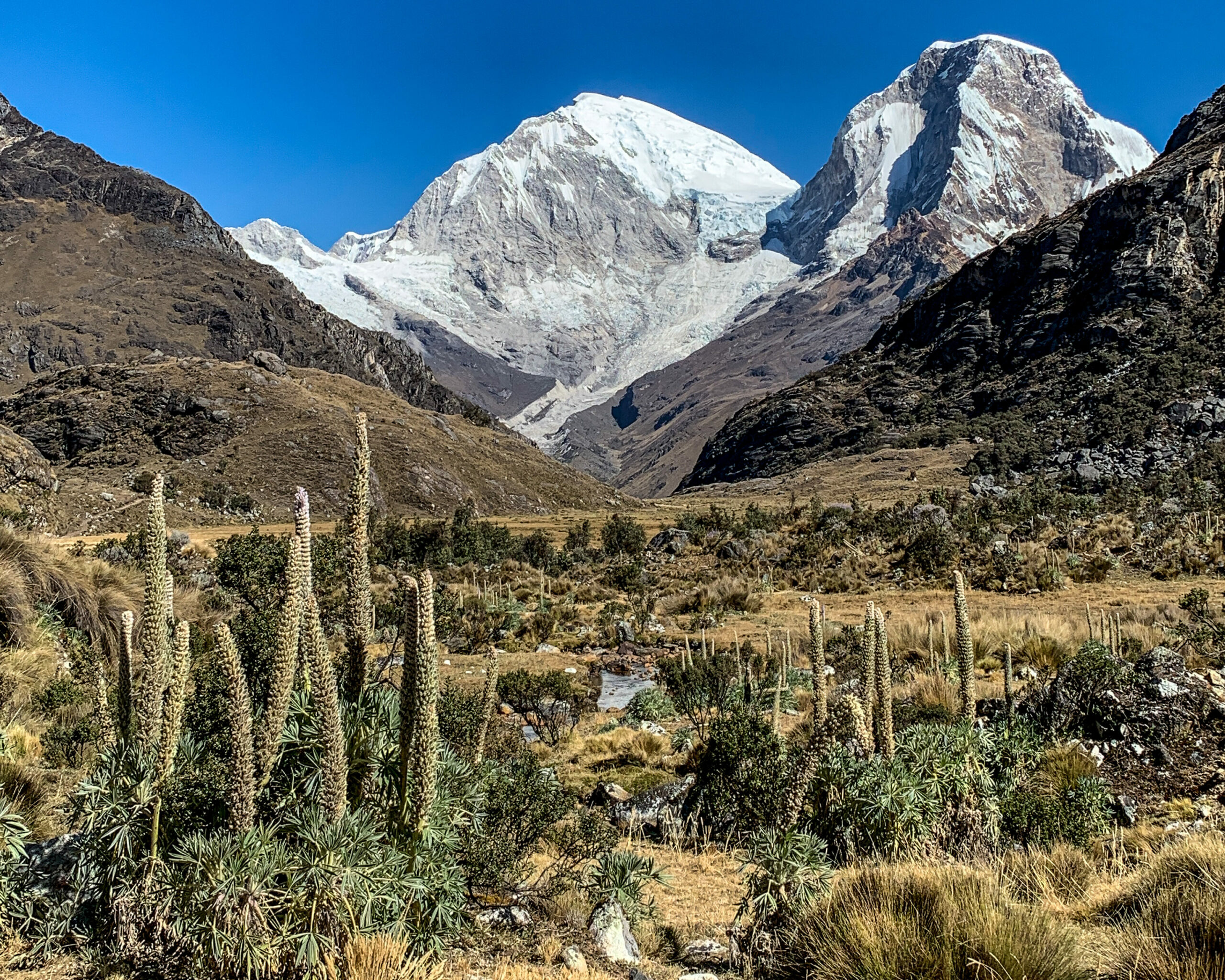
The beautiful Laguna 69 was one of our favorite hikes in South America. It easily has the worst, or funniest, name of the 300 lakes in Huascaran National Park. When they decided to name all of the lakes, they just assigned a number to ones that didn’t already have a name (i.e., no lewd meaning). Just before the start of the hike, you pass Llanganuco Lakes. The color of the water was amazing! It’s best to visit the lakes early since the color wasn’t as pronounced on the way back. There are some trails around the lakes, but they likely won’t provide better views. Unless you have mobility issues, it’s not really worth going just to these lakes due to the long drive and almost $10 entry fee per person.
Most people hiking Laguna 69 come from Huaraz, which is 3 hours away. We saved 1.5 hours by starting in Caraz, but we left later and ended up starting the hike with everyone else around 8:30 AM. The trail was fairly crowded, so we took our time and let others race to the lake. When we arrived, most people were hanging out in one area so we easily found an isolated spot along the lake. After about an hour, everyone left and we had the lake to ourselves for 30 minutes before heading back. If hiking on your own, either hike up with the tours and stay longer or start your hike later if the weather looks good.
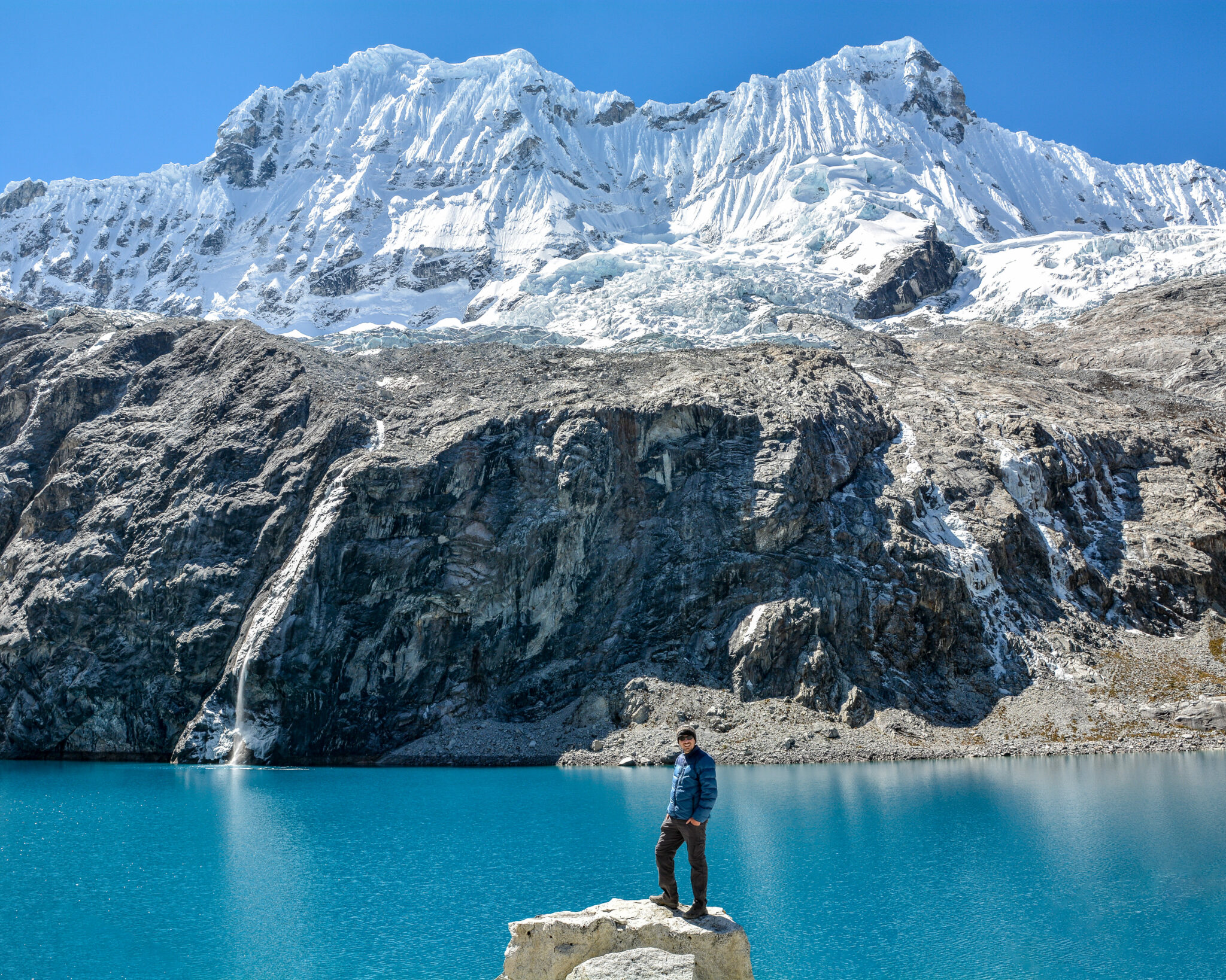
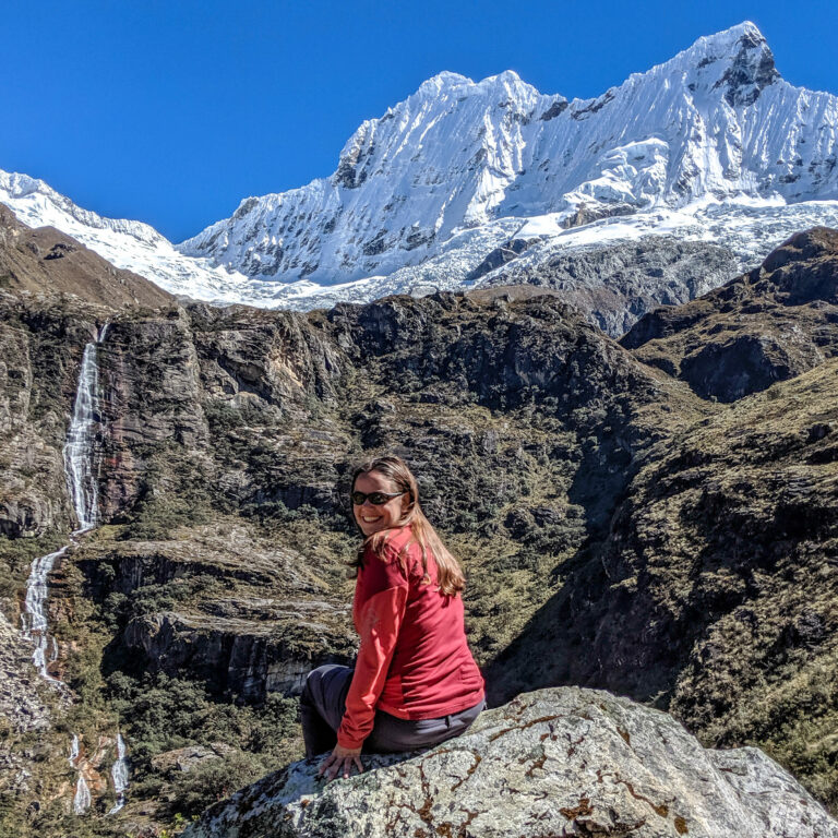
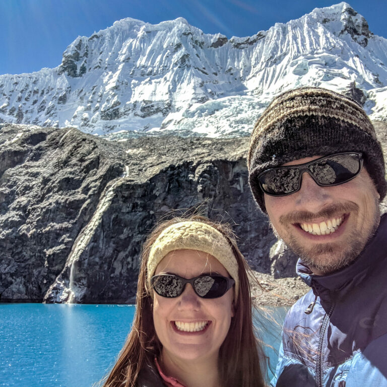
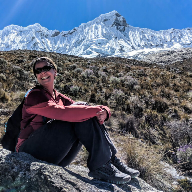
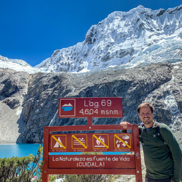
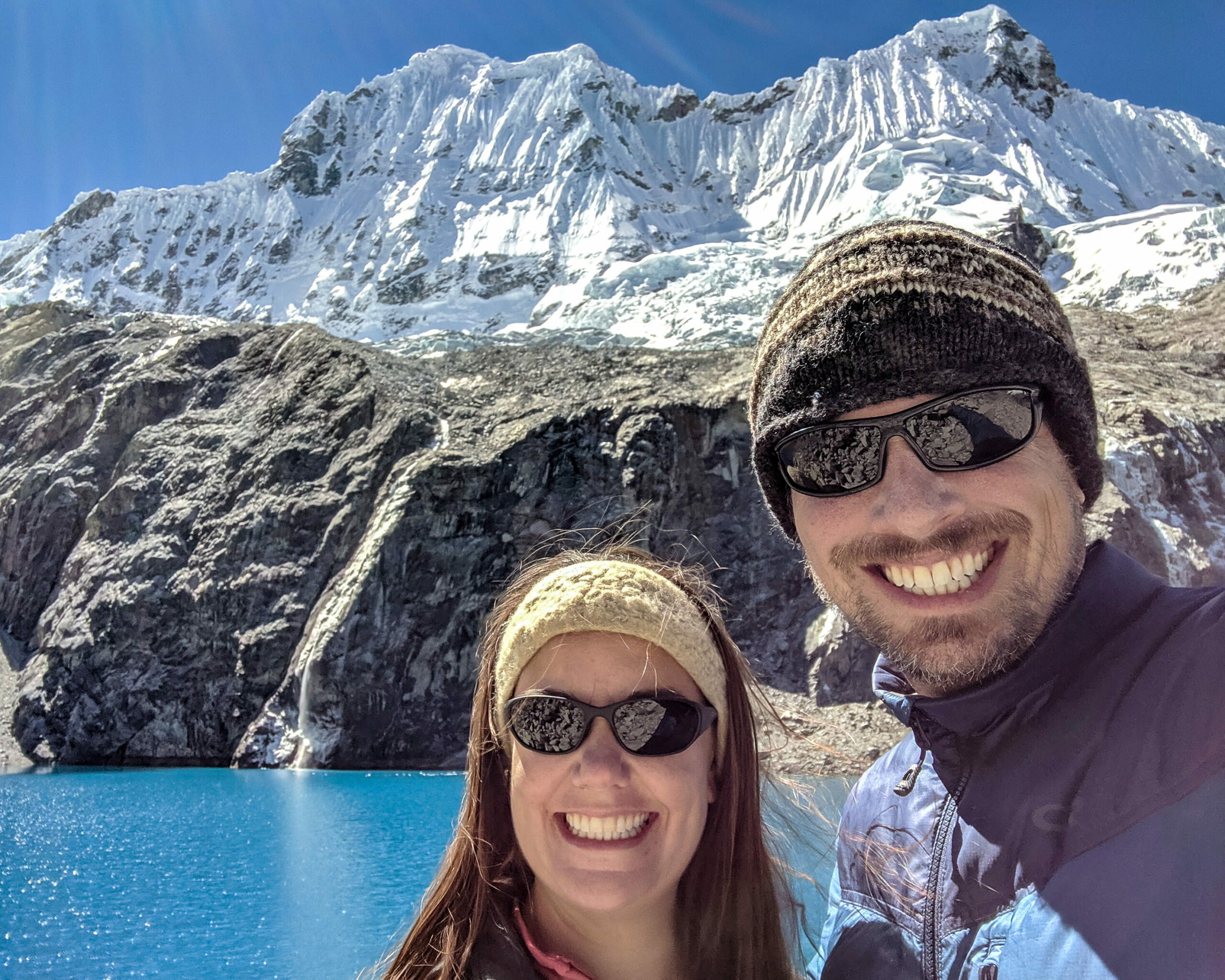
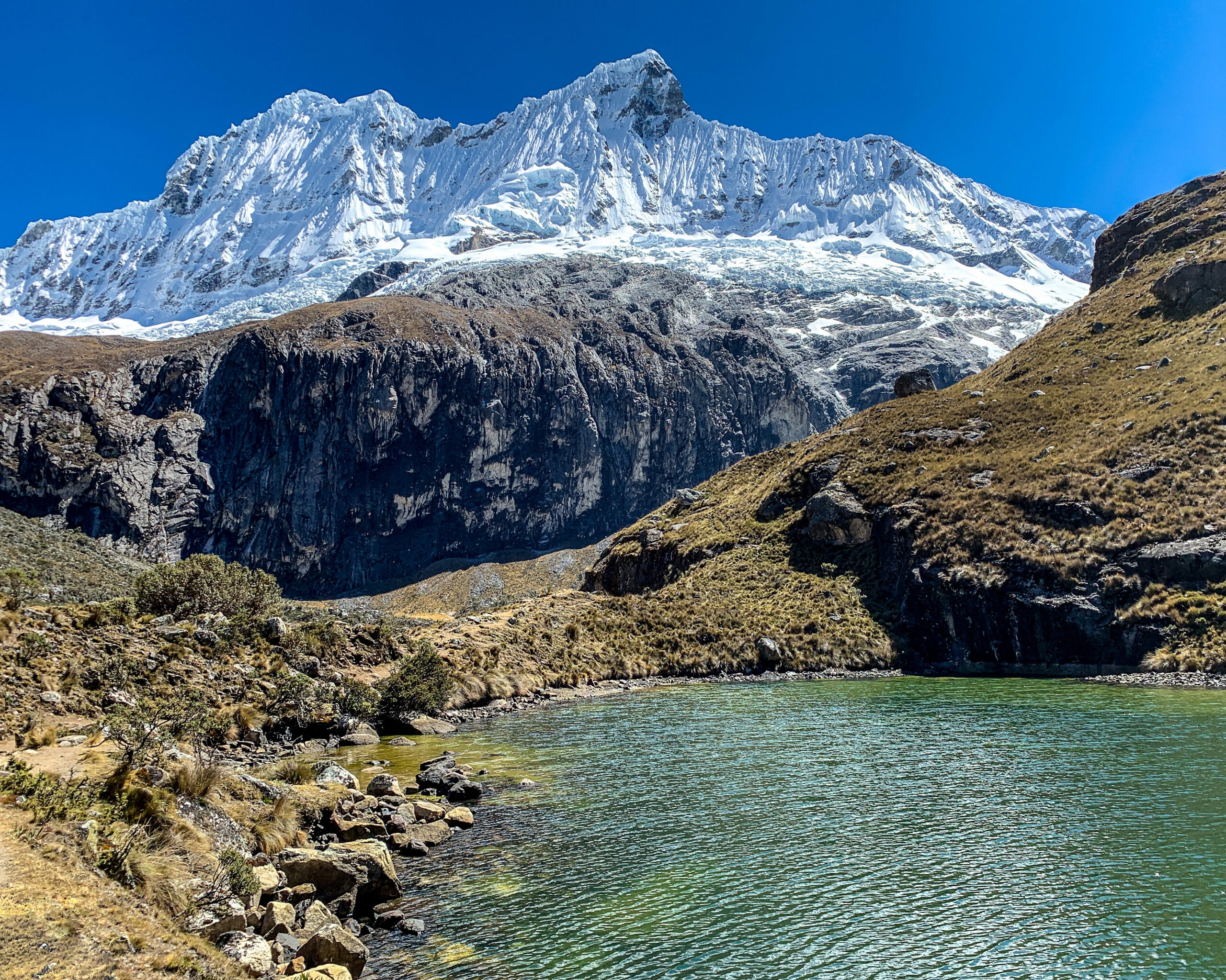
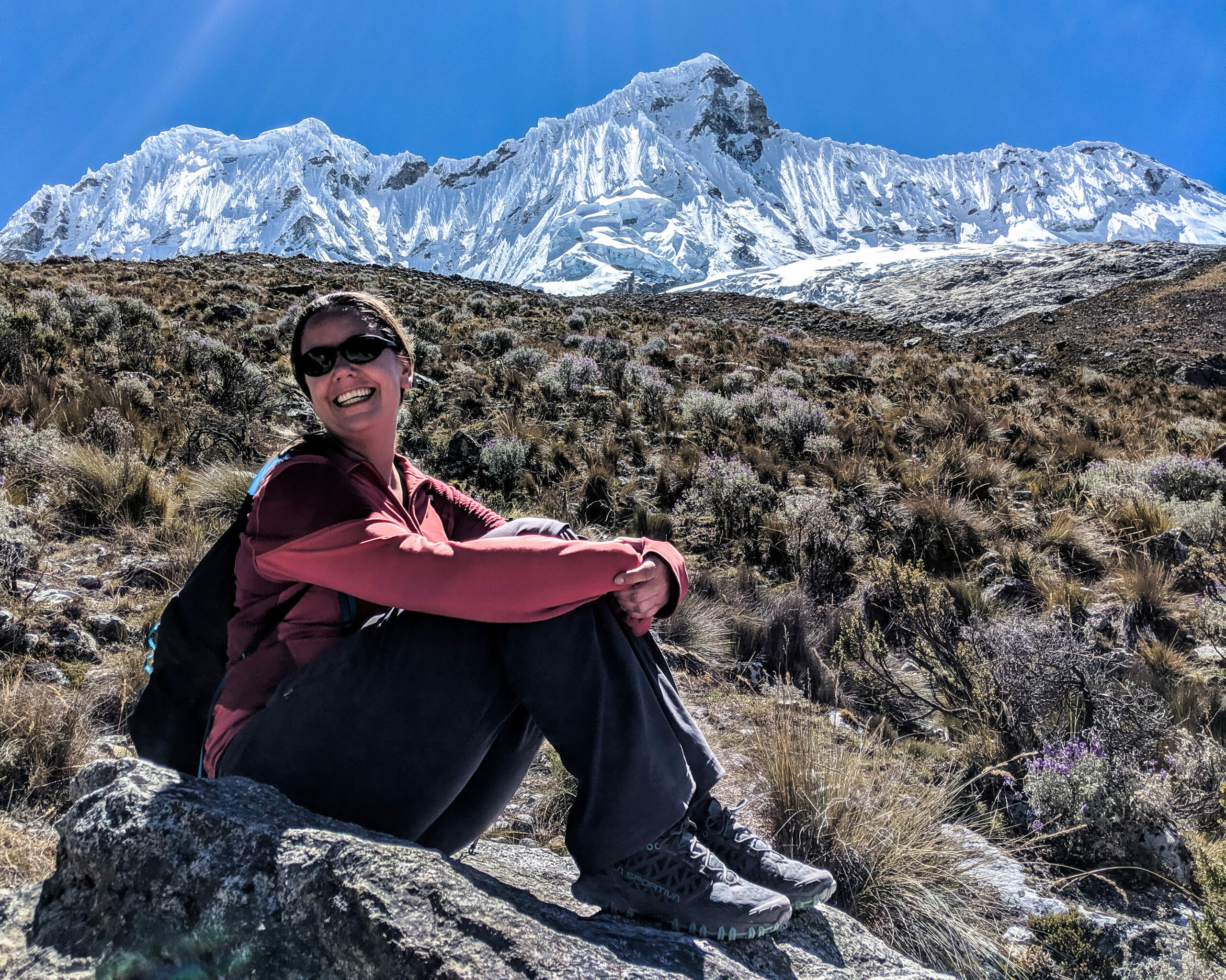
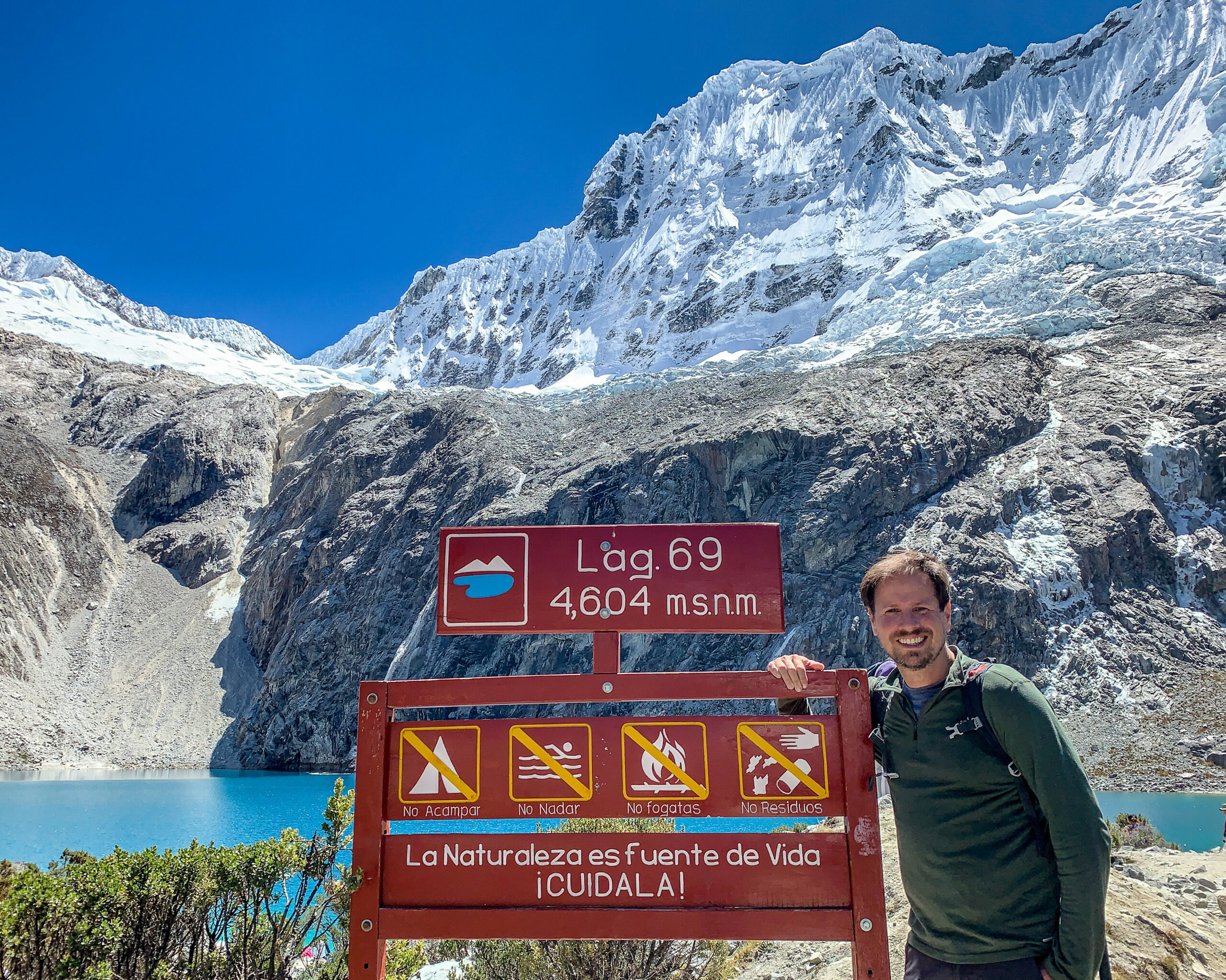
The lake sits at 15,172 feet, and it took us 3.5 hours to reach the top with 2,949 feet of elevation gain, mostly in the final stretch. This was the hardest hike in Peru for Therese as she had difficulty catching her breath towards the top, but it was completely worth it since the views are incredible throughout the entire hike. We stayed around 1.5 hours and it took 2:45 to get back down for a total of 8.9 miles roundtrip.
After the hike, be sure to stop at the taproom just outside the park for a well-deserved beer.
